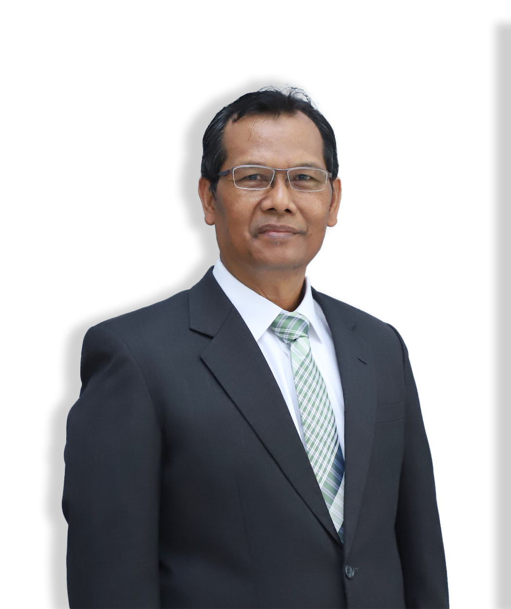
Prof. Ir. Sugianto, M.Sc, Ph.D. is a researcher with expertise in land use planning, environmental management, and sustainable development, focusing on the application of remote sensing, GIS, and spatial analysis. Their work includes studying the relationship between land cover and surface temperature, using drones for land planning, and assessing marine conservation areas in Aceh, Indonesia. They have also researched agricultural land use, particularly in crop growth and satellite imagery analysis, as well as the resilience of coastal ecosystems. Additionally, Prof. Ir. Sugianto, M.Sc, Ph.D. has contributed to studies on carbon stocks in forests and the impacts of the 2004 tsunami on coastal areas. Their interdisciplinary research supports informed land-use decisions and sustainable environmental practices.